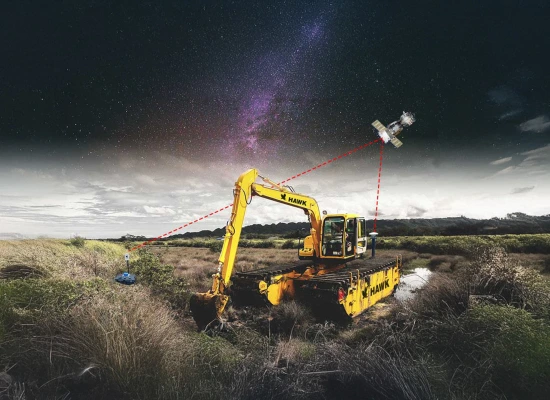
![]() HAWK Excavator
HAWK Excavator
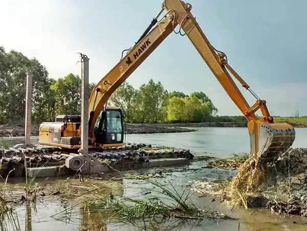
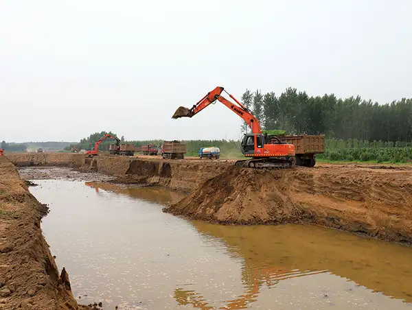
Hydraulic Dredging
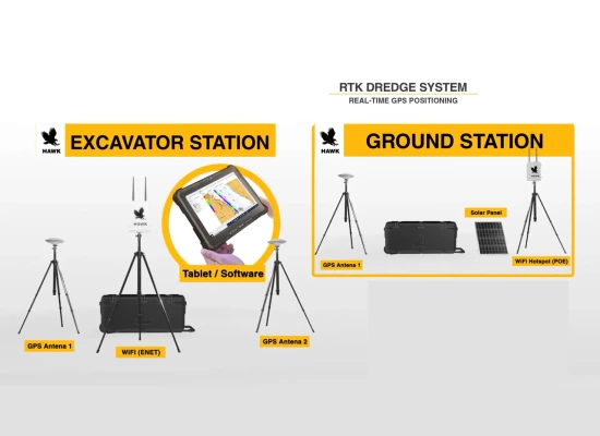
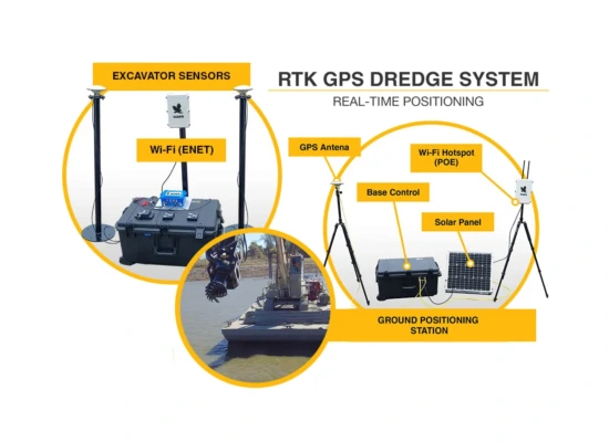
Tracks the suction head position underwater in real time, ensuring accurate and consistent dredging.
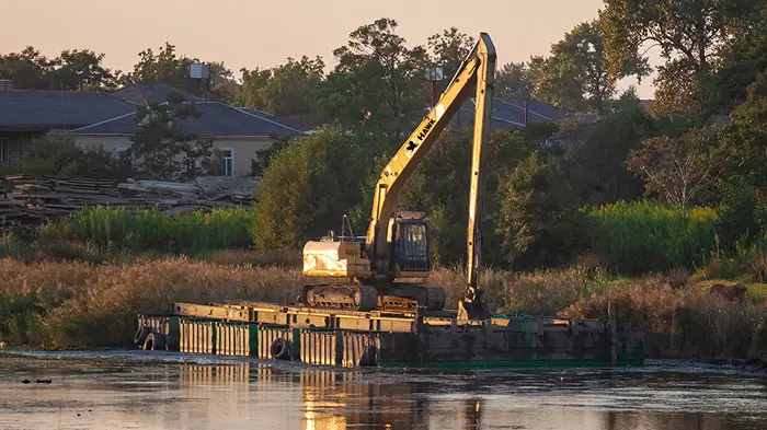
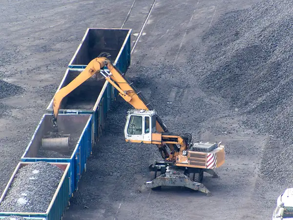
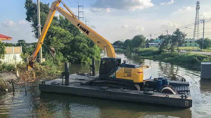
Mechanical Dredging
Attaches to excavator buckets or clamshell grabs to give operators exact bucket locations, preventing over-dredging.
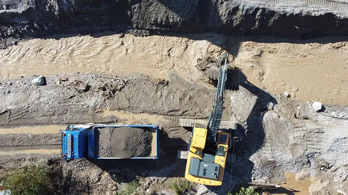
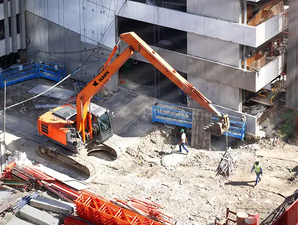
Dry Material Excavation
Improves accuracy for large-scale land excavation projects.
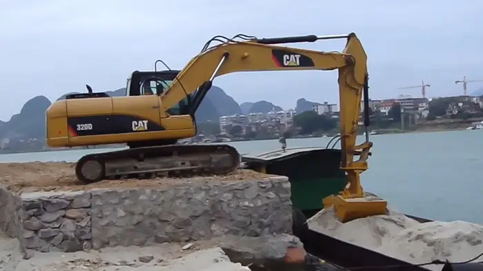
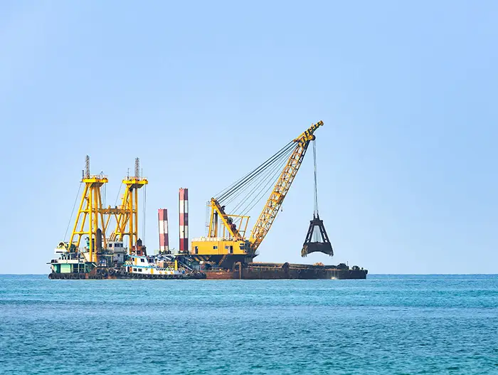
Grab or Clam Shell Dredging
Supports grab-type dredging for harbors and ports, reducing guesswork and optimizing cycles.